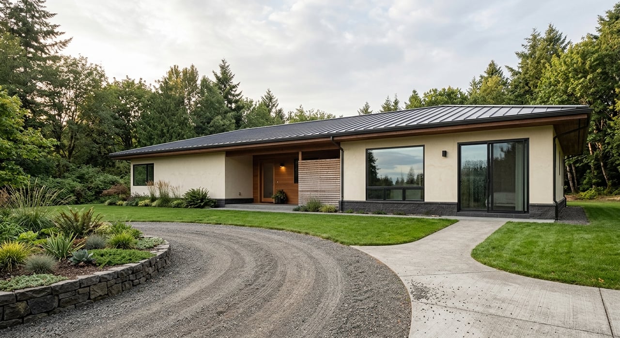
If you have ever driven through Waimea and thought, “Why does this part of town feel so different from the last?” you are not imagining it. Waimea is not defined by sharply drawn neighborhood lines as much as it is by a series of distinct pockets shaped by roads, elevation, open land, and daily convenience. If you are thinking about buying or simply trying to understand the area better, this guide will help you compare the parts of Waimea that matter most in real life. Let’s dive in.
How Waimea Is Structured
Waimea is best understood as a linear town rather than a compact grid. Hawaiʻi County describes it as developing east to west along Māmalahoa Highway and Kawaihae Road for about six miles, with the town center roughly in the middle.
That layout matters when you are comparing homes. In practical terms, where you live in Waimea can change how close you are to errands, how much wind you feel, and whether your surroundings feel more like a town setting or a ranch-edge landscape.
Waimea’s physical setting also plays a big role in its character. State climate records place Waimea, also known as Kamuela, at about 2,670 feet in elevation, and USDA descriptions note mid-elevation leeward slopes, moderate annual rainfall, cooler temperatures, and common strong winds.
Close-To-Town Core Streets
If convenience is your top priority, the town-center corridor is the most practical pocket to know. The clearest core sits around Māmalahoa Highway and Kawaihae Road, where county planning documents say most commercial development is concentrated.
This is the area most people picture when they think about everyday Waimea. It is where you are closest to shopping, services, and a more active day-to-day pace.
What makes the core convenient
The town center has many of the places people use most often. County and local facility information identify nearby shopping centers, supermarkets, banks, restaurants, and smaller shops, while Parker Ranch Center lists more than 40 stores, restaurants, and services anchored by Foodland and Healthways.
You are also near several public and community facilities in this area. Those include Queen’s North Hawaiʻi Community Hospital, Waimea Park, the Thelma Parker Memorial library, and the county’s Waimea Center vehicle licensing office.
Waimea Park adds another layer of everyday usability. It includes a community center, basketball and tennis courts, a playground, restrooms, a skate park, and sports fields.
Transit and daily access
The Waimea Circulator reinforces how central this pocket is to daily life. Stops include Pukalani Road by Ace Hardware and Parker Ranch Shopping Center, Waimea Park, Opelo Road, Kamuela View Estates, Waiula Drive, and areas near Mud Lane and Puu Pulehu Loop.
For some buyers, that kind of access is a major plus. Being closer to services and transit can simplify routines, especially if you want shorter errand runs or easier access to key stops around town.
The tradeoff in the core
The biggest tradeoff is activity level. County planning documents note that people heading to the town center for shopping or banking share the corridor with Hilo-Kona commuters, so this area tends to be more active and less quiet than pockets farther from the center.
If your goal is to be close to the essentials, the core may be the best fit. If you want more separation from traffic and daily movement, you may prefer one of Waimea’s more elevated or rural-edge pockets.
Hillside And View Pockets
If you are drawn to broader outlooks and a stronger sense of being above the town core, Waimea’s hillside pockets may stand out most. Official examples that help define this group include Kamuela View Estates, Waiula Drive, and South Kohala View Estates.
These areas are useful shorthand for a more mauka and slightly more elevated residential feel. They are still tied to town, but the experience can feel more open and visually expansive.
What the setting feels like
County planning documents describe views of the Kohala Mountains and culturally important puʻu north of the town center. They also note that the east-side uplands help preserve Waimea’s rural and open visual character.
For buyers, that often translates to more open sky, longer sightlines, and a setting that feels less tucked into the center of town. The visual experience is one of the clearest differences between these pockets and the convenience-first core.
A more exposed climate
The same features that create views can also create more weather exposure. USDA descriptions of the Waimea area note common strong winds, and the mid-elevation setting can feel cooler than coastal locations.
That does not make these areas better or worse. It simply means that if you love openness and outlooks, you may also need to be comfortable with a breezier, more exposed environment.
Who may like this pocket most
These hillside pockets can be a strong match if you want a balance between access to town and a more elevated residential setting. They may especially appeal to buyers who value scenery and a little more separation from the busiest corridor.
When you tour homes here, it helps to pay attention to wind, orientation, and how the lot sits in relation to the slope and surrounding open space. In Waimea, those details can shape daily comfort just as much as square footage.
Ranch-Land And Pasture-Edge Pockets
If you want the strongest country feel, Waimea’s ranch-edge areas are the pockets to study closely. County planning materials point to east Waimea, especially from Mud Lane to Church Row, as one of the clearest areas where small farm lots, ranch parcels, and open land still define the character.
This part of Waimea carries a distinctly rural feel. The county describes the eastward drive into town as dominated by grazing horses, sheep, cattle, woodlots, and small farm fields.
Where the rural character stands out
The county notes that this stretch includes visually important small farm and ranch lots, including about 40 parcels of 10 acres or more fronting Māmalahoa Highway that remain intact open space. That is a major reason this pocket feels different from the center.
South of town, the Parker Ranch corridor adds another layer to this identity. County documents reference Parker Ranch lands along Māmalahoa Highway, the Parker Ranch headquarters and historic race track, the historic Pukalani Stables Complex, and the Lālāmilo farm lots farther south.
The strongest connection to Waimea’s ranch identity
This is the pocket that feels most closely tied to Waimea’s paniolo heritage and open-land history. Parker Ranch has also stated that its Waimea Town Center Plan was designed to preserve the area’s rural small-town character while allowing thoughtful growth.
For many buyers, this is the emotional draw. You are not just choosing a home location. You are choosing a setting with a more obvious relationship to pasture, ranch land, and open viewsheds.
The tradeoff in ranch-edge areas
The tradeoff is convenience. County planning documents make clear that shopping, banking, and many services are concentrated back in the town-center corridor, so these pockets typically involve greater car dependence.
If you value open-space character above short errand times, this may be the right fit. If you want to be able to reach groceries, appointments, or services more quickly, the core may suit you better.
How To Compare Waimea Pockets
When you are deciding where to focus your search, it helps to compare Waimea’s pockets using a few simple quality-of-life factors. In this town, the differences are often less about formal neighborhood borders and more about how daily living feels from one area to another.
Here are the factors that usually matter most:
- Convenience: How quickly can you reach shopping, services, parks, or appointments?
- Traffic and activity: Do you prefer a more active area or a quieter setting?
- Wind exposure: Are you comfortable with breezier conditions in more open or elevated locations?
- Openness: Do you want to feel in town, above town, or at the edge of open land?
- Setting: Are you drawn to a practical central location, a view-oriented pocket, or a ranch-adjacent environment?
A simple way to think about it is this:
| Best Known For | Main Tradeoff | |
|---|---|---|
| Core streets | Shortest access to errands, services, and transit | More traffic and activity |
| Hillside/view pockets | Broader outlooks and more open sky | More wind and exposure |
| Ranch-edge pockets | Strong rural character and open-land feel | Longer drives for daily needs |
Why Local Guidance Matters In Waimea
Waimea is a place where small location shifts can create a very different living experience. A home that looks close on a map may feel much more connected to the town center, more exposed to wind, or more rooted in pasture-edge surroundings once you visit in person.
That is why grounded local guidance matters. Beyond the view or curb appeal, it helps to understand how a pocket functions day to day, how the setting changes across town, and what tradeoffs come with each location.
If you are comparing Waimea homes or land, having a practical eye can make the process much clearer. The goal is not just to find a property you like, but to choose the part of Waimea that fits how you want to live.
If you want help narrowing down the right pocket in Waimea, Hawaii Development Group can help you look beyond the listing photos and focus on the location details that matter most.
FAQs
Which part of Waimea is closest to shopping and services?
- The town-center corridor around Māmalahoa Highway and Kawaihae Road is the closest to shopping, services, the hospital, the library, and county offices.
Which Waimea pocket has the strongest view-oriented feel?
- Official examples of Waimea’s view-oriented pockets include Kamuela View Estates, Waiula Drive, and South Kohala View Estates, which are associated with a more elevated and open setting.
Which part of Waimea feels most rural?
- East Waimea from Mud Lane to Church Row, along with the south-of-town ranch corridor, has the strongest rural and pasture-edge character in county planning documents.
What changes most from one Waimea pocket to another?
- The biggest differences are convenience, traffic and activity, wind exposure, and how much open land surrounds the home.
Is Waimea organized into official neighborhoods?
- Official sources do not draw hard neighborhood borders. Instead, Waimea is better understood as a corridor-based town with distinct pockets around the core, the hillside areas, and the ranch-edge land.